
Guide
Drone tree surveys: method, accuracy and UK rules
Aerial capture has become genuinely useful for arboricultural survey — but it is frequently oversold. This guide covers what a drone can and cannot assess, how UK operating rules constrain the work, and where the real time savings actually come from.
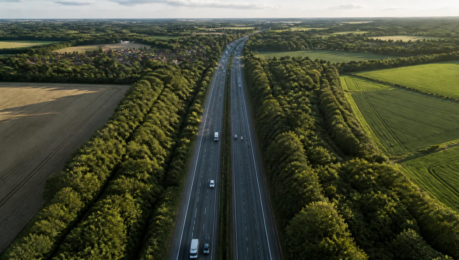
What a drone can see that a surveyor cannot
The case for aerial capture in tree survey is simple and physical. A ground surveyor assesses the crown by looking up through it, usually from one side, sometimes from a live verge with traffic passing. The upper crown is exactly where ash dieback shows first, where deadwood accumulates, and where storm damage sits — and it is the part of the tree hardest to see from below.
From above, crown decline is directly observable. Across a stand you can see the pattern of decline rather than assessing tree by tree in isolation, which matters when prioritising works on a corridor.
What a drone cannot assess
This is where drone survey is most often oversold. Aerial imagery gives you almost nothing on:
- Basal and buttress condition — the origin of most catastrophic whole-tree failures.
- Root plate movement, soil heave and cracking around the base.
- Fungal fruiting bodies, which are usually at or near ground level and often on the shaded side.
- Stem cavities, included bark and decay pockets behind foliage.
- Anything requiring touch — sounding, probing, or decay detection equipment.
A tree survey delivered from aerial imagery alone is not a tree safety inspection and should not be presented as one. The inspection record still needs ground observation to be defensible.
UK operating rules
Drone flying in the UK is regulated by the Civil Aviation Authority. In outline: the organisation needs an operator ID, the pilot needs a flyer ID, and survey work close to people, vehicles, buildings or roads generally falls outside the most permissive operating category — which means further pilot qualification and a documented operational risk assessment.
For infrastructure work there is a second layer. Flying over or adjacent to a motorway, trunk road or railway normally requires the infrastructure owner's agreement as well as CAA compliance, and airspace restrictions apply near airports and certain sites. Build the permissions into the programme timeline; they are routinely the thing that delays a survey window, not the weather.
Rules change. Check the current CAA position at register-drones.caa.co.uk before planning operations.
Where the time savings really come from
Aerial survey is often sold on flight speed. In practice the flying is rarely the bottleneck — assessment and administration are. The savings that hold up on a real programme are:
- Access avoided: no traffic management booking, no landowner access negotiation, no working at height for a first look.
- Consistency: every tree gets comparable imagery, so the assessor is not deciding whether a poorly framed photo is good enough.
- No manual filing: if the mission is planned against asset references, imagery lands on the right tree automatically. Matching a folder of photographs to trees afterwards can take longer than the flight.
- Re-inspection: a second capture of the same flight path gives a directly comparable view of the same crowns a year later.
Whereas the assessment itself still takes a qualified arboriculturist looking at each tree. Any claim that drone survey removes that step should be treated with suspicion.
Accuracy, plainly
Positional accuracy comes from the aircraft's satellite positioning — typically within a few metres without ground control, and better with RTK or established ground control points. For attaching a photograph to a known asset that is ample; for producing a survey-grade topographic deliverable it is not, and you would specify the survey differently.
Assessment accuracy is a different question. Aerial imagery improves crown assessment substantially and does not improve stem or root assessment at all. The honest summary is that a combined aerial-and-ground survey is more accurate than either alone, and an aerial-only survey is less accurate than a conventional one.
Sensors: what you actually need
For arboricultural condition work, a good RGB camera on a commercial multirotor covers the overwhelming majority of requirements. Multispectral sensors can indicate canopy stress before it is visible, thermal has niche applications, and LiDAR produces structural models — all at significantly higher cost and processing burden.
Unless there is a specific analytical requirement driving it, start with RGB. Most programmes that bought a specialist sensor first ended up using the standard camera for routine work anyway.
Fitting it into a survey programme
Drone capture only pays for itself when it is part of the inspection workflow rather than a separate service producing separate deliverables. That means the mission is planned against the asset register, the imagery attaches to the asset and the specific inspection, and the assessor works from one record.
That is what Arbrium Air is built to do — mission planning from the asset map, pre-flight checks on the controller, and captured evidence syncing back to the tree it belongs to.
Aerial capture, filed against the right tree.
Arbrium Air plans missions from your asset map and syncs captured evidence back to the asset and inspection. In beta with selected customers.