
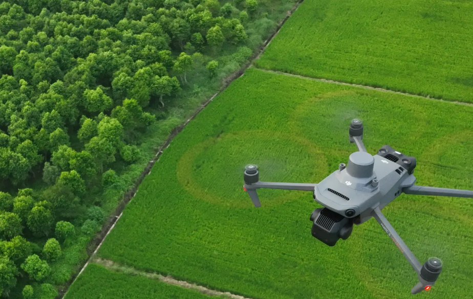

Plan the flight at your desk. Capture the evidence in the field.
Arbrium Air turns your asset map into a drone survey mission, sends it to the controller, and brings consistent imagery back to the right tree record — with a qualified pilot and a professional surveyor in control throughout.
Mission planner
Select the assets. Arbrium builds the flight.
Add assets to the demo map below and watch the route, flight time, image count and battery requirement update as you go — the same calculation the platform runs against your real project data.
Mission planner — interactive demo
Flight plan
- Assets selected
- 3
- Route length
- 1.01 km
- Estimated flight time
- 4.2 min
- Images to capture
- 21
- Batteries required
- 1
Capture order
- 01Individual tree
- 02Linear belt
- 03Woodland group
Illustrative figures only. In the platform the plan is built from your real asset geometry, terrain and weather window.
Built for corridor survey work, not for aerial photography.
Missions built from real assets
Select the trees, belts and woodland groups you need imagery for. The flight is planned around those records, not around a blank polygon.
Runs on the DJI controller
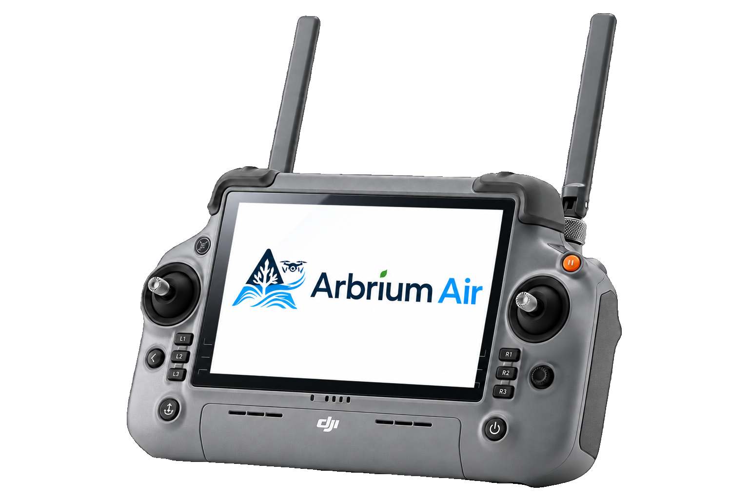
Arbrium Air installs on the RC Plus 2 as its own app, with hand-off into DJI Pilot 2 for the flight itself. No second tablet in the van.
Pre-flight checks recorded
Weather, altitude and site checks are completed on the controller and stored against the mission, so the flight log writes itself.
Works without signal
Missions and captured media are held on the device and upload automatically when connectivity returns.
Evidence lands on the asset
Imagery attaches to the specific tree and the specific inspection — not a folder named after the date.
Surveyor stays in control
Draft observations are prepared for review. Nothing is published until a qualified surveyor approves it.
Controller pairing
From install to first flight in six steps.
Pairing takes a few minutes on the tailgate. Once the controller is signed in, every mission you plan on the desktop is waiting for the pilot on site.
- 01
Install Arbrium Air on the controller
Side-load the Arbrium Air APK onto the DJI RC Plus 2 and allow storage, location and camera permissions when prompted.
- 02
Sign in and pick your organisation
Sign in with your Arbrium account. The controller pairs to your organisation and pulls the projects you have been given access to.
- 03
Power the aircraft and complete pre-flight
Bind the aircraft to the controller as normal, then work through the Arbrium pre-flight checklist — weather, altitude, airspace and site checks.
- 04
Download today's missions
Planned missions sync to the device with their assets, imagery targets and offline map data. Once downloaded they work with no connection.
- 05
Hand off to DJI Pilot 2 and fly
Open the mission in DJI Pilot 2 straight from the mission card. The aircraft flies the planned route and captures every selected asset.
- 06
Import media and sync back
Back on the controller, import the captured media. Arbrium matches each image to its asset and queues the upload for the next time you have signal.
Flights remain the responsibility of the operator. UK commercial operation requires a CAA operator ID, a qualified remote pilot and, near motorways or railways, the infrastructure owner's permission.
For pilots
Fly for the Arbrium Air programme.
We are building a network of qualified UK remote pilots to support tree and boundary survey work on live infrastructure. Tell us where you are based and what you fly, and we will be in touch as work comes up in your area.
- CAA operator ID and current flyer ID
- Experience near roads, rail or utilities is a plus
- DJI Matrice or equivalent survey-grade aircraft
- Happy to work alongside a qualified arboriculturist
Want to see Arbrium Air against your own corridor?
We will plan a mission over a section of your network and walk through the evidence it produces, end to end.