
Arbrium Air · In beta with selected customers
Aerial and drone tree surveys, tied to the asset record.
Most drone survey work produces a folder of photographs that somebody then has to match back to trees. Arbrium Air plans the flight from the asset map, so every image is already attached to the tree it shows — captured, synced and auditable.
Why aerial capture matters for tree survey
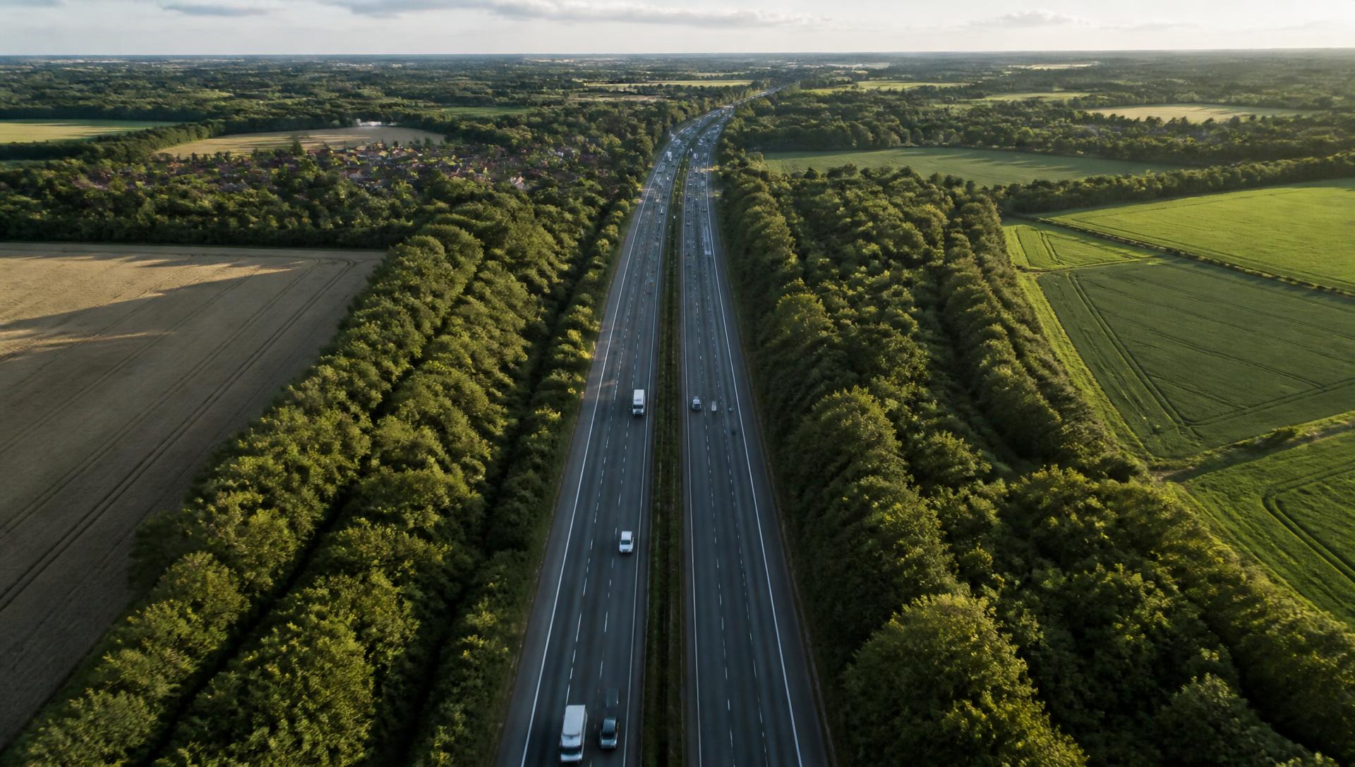
A ground surveyor assesses the crown by looking up through it, often from one side, frequently from a live verge under traffic management. The upper crown — where dieback shows first and where deadwood accumulates — is the hardest part of the tree to see and the most important part to judge.
Aerial imagery inverts that. Crown decline, deadwood distribution and canopy thinning across a stand are visible in a way they simply are not from below, and the record is consistent tree to tree rather than dependent on where the surveyor could stand.
It is a supplement, not a substitute. Basal decay, root plate movement, fungal brackets and stem cavities need somebody on the ground with their hands on the tree. The productive combination is aerial capture for the crown, ground assessment for everything below it, and one record holding both.
What Arbrium Air does
Mission planning from the asset map
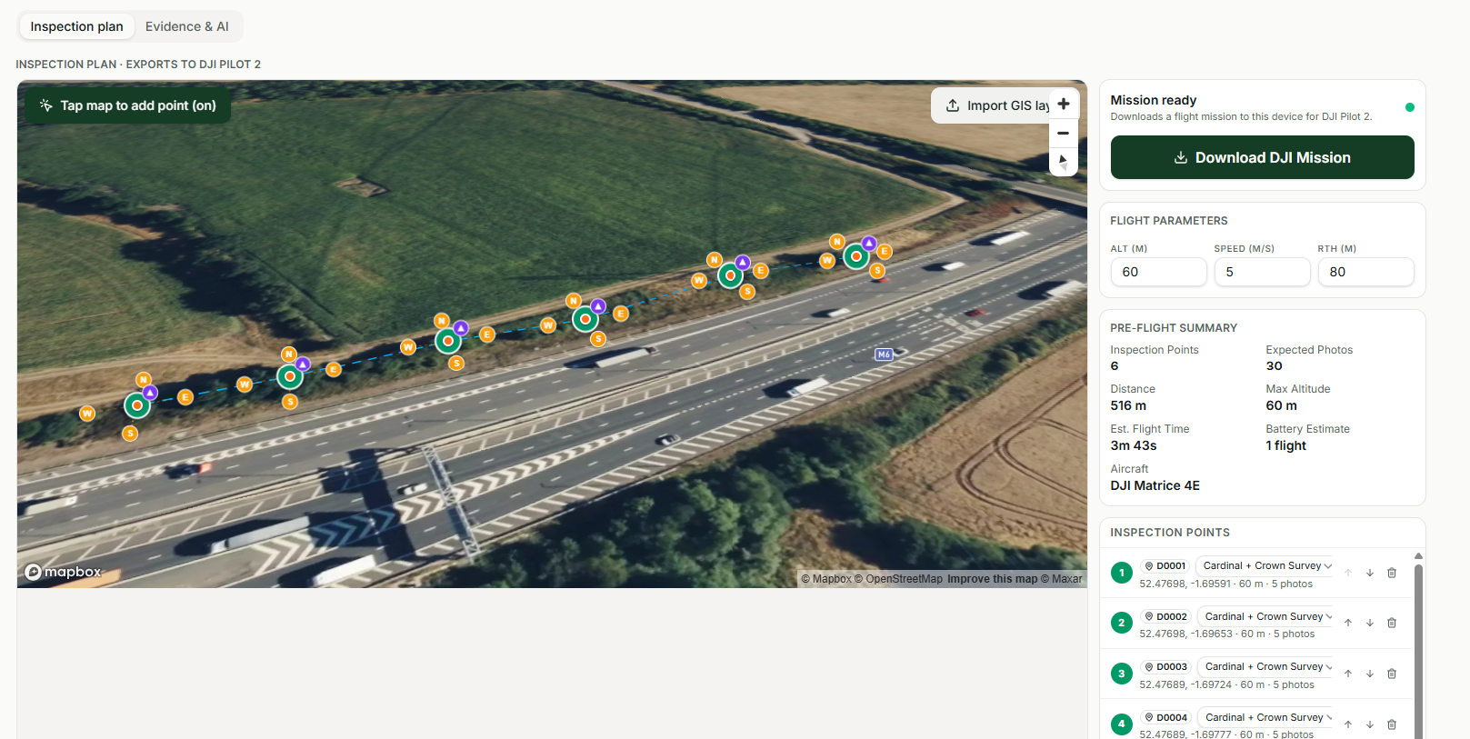
Select the trees, belts or corridor sections you need imagery for and Arbrium builds the flight around them. The mission knows which assets it is capturing, so the evidence has somewhere to land before the drone leaves the ground.
Pre-flight checks on the controller
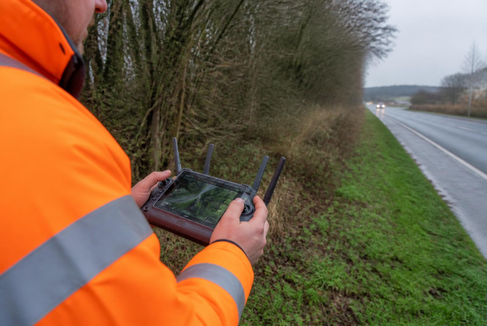
Weather, altitude and site checks run on the controller itself, recorded against the mission. The pilot works through the checklist in the field rather than reconstructing it afterwards for the flight log.
Runs on the DJI controller
Arbrium Air installs on the controller as an app, with hand-off into DJI Pilot 2 for the flight itself. There is no second tablet and no separate mission-planning laptop in the van.
Evidence syncs to the asset
Captured imagery attaches to the specific tree and the specific inspection, not to a folder named after the date. Points created during mission planning become real assets in the project.
Works without signal
Missions and captured evidence are held on the device and upload when connectivity returns — necessary on rural corridors where a data connection cannot be assumed.
The surveyor still signs it off
Aerial capture speeds up evidence collection. The condition assessment, classification and recommendation remain the judgement of a qualified arboriculturist.
Plan the mission where the assets already live
Mission planning happens on the same map that holds the project's trees, belts and boundary assets. Select what needs capturing, set the altitude, and the flight plan is built against real asset references rather than arbitrary waypoints.
That is the difference between drone survey as a separate service and drone survey as part of the inspection programme. When the mission finishes, the evidence is already filed.
Built for the way survey teams actually operate
Arbrium Air was developed alongside a live vegetation programme on the strategic road network — rural corridors, restricted access, patchy signal, and a short seasonal window to get the work done.
UK drone operation is regulated by the Civil Aviation Authority, and survey flying near carriageways and railways also needs the infrastructure owner's agreement. Arbrium Air handles the survey workflow; the operating permissions and qualified pilot remain your responsibility.
See how the wider programme runs in our National Highways case study, or read the guide to drone tree surveying for the method itself.
Arbrium Air is in beta with selected customers.
If you deliver tree or vegetation surveys at scale and want aerial capture inside the same system as your asset records, we would like to talk.