
For infrastructure asset owners and their supply chain
Infrastructure
asset intelligence,
connected.
Connect asset data, inspections and works across systems, projects and teams.
Bring infrastructure information together, improve its quality, identify relationships between assets and projects, and turn changing asset data into useful operational intelligence.
Every inspection confirms, corrects or adds to the record, with provenance.
One consistent model for assets from many sources and suppliers.
See what each asset affects, across projects and teams.
Spot the work that belongs together before anyone is on site.

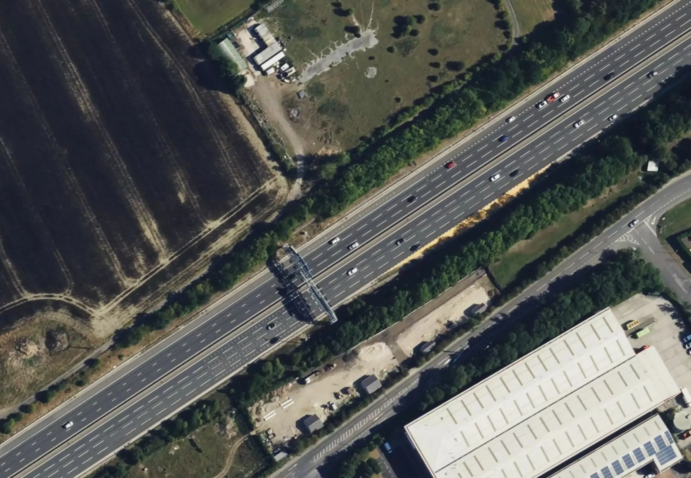
Infrastructure isn't organised into databases.
Your teams might be. Your assets aren't.
Registers are split by asset type, projects by contract and teams by discipline. Individual systems and projects may not expose the relationships between them. Arbrium is designed to.
- TREE → BOUNDARYA tree can affect a boundary.
- VEG → VRSVegetation can affect a vehicle restraint system.
- DRN ← VEGDrainage work can require vegetation clearance.
- PRJ-A ∩ PRJ-BDifferent projects may need the same access or traffic management.
- Δ ONE ASSETA change to one asset can invalidate assumptions elsewhere.
Between your data and the systems you already use.
Arbrium doesn't ask every team or contractor to capture data in Arbrium, or to move everything into it. It takes in authorised infrastructure information from many sources, understands how it relates, improves it, and returns structured intelligence to the systems you already run.
How information enters and leaves — identity and provenance kept.
Assets, inspections, projects and works — and how they relate.
Today, information moves in and out as files — GeoJSON, KML and Shapefile in; Shapefile, GeoJSON, CSV and Excel out — with read-only access for AI assistants. Live API connections and synchronisation are planned, and depend on each client's systems.
Arbrium does not need to own every asset record. It needs to understand the relationships between them.
Connect. Understand. Relate. Act. Exchange.
Better data, connected assets, relational intelligence and coordinated delivery — each step leaves the information more useful than it was. Each step shows what it does today.
- 01Connect
Bring together authorised infrastructure information from multiple systems, suppliers, projects and inspection methods.
TodayAvailableGeoJSON, KML and Shapefile; field survey and rapid capture; drones in beta.
- 02Understand
Normalise and validate it, track provenance, identify changes and improve the asset record.
TodayAvailableCoordinates converted; field corrections kept beside the original value.
- 03Relate
Asset ↔ asset, inspection, project and work. Project ↔ project. Work ↔ work.
TodayAvailableTrees, vegetation and boundaries, across projects.
- 04Act
Surface potential dependencies, cross-project relationships, coordinated-work opportunities, data-quality issues and changing conditions.
TodayAvailableLinked assets, potential grouped work, coordination opportunities.
- 05Exchange
Return structured information to GIS, engineering systems, reporting, Power BI and asset systems.
TodayAvailableFiles in your standards and read-only AI access. APIs planned.
Most asset systems tell you what you own.
Arbrium helps you understand what those assets affect.
Vegetation, boundaries, drainage and restraint systems are often held in separate databases, by separate teams. The physical assets aren't separate. Arbrium suggests where one asset affects another — across asset types, projects and suppliers — with the evidence for each suggestion.
- 01A vegetation survey recommends felling T-882.
- 02F-104 is due for replacement on another project, 17 m away.
- 03Arbrium suggests the felling must come first, with the distance as evidence.
- 04The asset owner confirms it — and both are flagged as potential grouped work.
Arbrium identifies relationships worth investigating. Professionals decide what they mean.
See what individual projects cannot.
A supplier understands their own project. The asset owner needs to understand what all the authorised activity on the network means together — where projects meet, where work overlaps, and where one job should wait for another.
- Vegetation projectAvailable↕
- Boundary projectAvailable↕
- Drainage projectPlanned↕
- Vehicle restraint projectPlanned
Every authorised project, on one connected graph
Each party sees only what it's allowed to.
- Linked assets across projects
- Potential delivery dependencies
- Overlapping activity
- Coordinated-work opportunities
- T-882Fell · ash, class 417.0 mF-104Replace
- T-A0614Fell · within 21 m height8.4 mF-0311Not surveyed yet
- T-A0622Fell · height not recorded6.1 mF-0312Not surveyed yet
- T-A0650Crown lift3.2 mF-0327Not surveyed yet
Linked assets, today.
A tree that's coming down beside a fence on another project. A fence due for replacement under a tree that needs felling. Arbrium lists the assets linked across projects, so the asset owner and the surveyors can talk before anyone is on site.
- Notify the other project when a tree near its boundary is coming down
- Flag potential grouped work when the tree and the fence both need work
- Measure the stretch of fence a falling tree could actually strike
- Nothing is confirmed or planned automatically — the owner decides
Better infrastructure data, in both directions.
Your data comes in as it is. Inspections and project activity confirm, correct or add to it — with the supplied value, the new value, who changed it and why kept side by side. Improved information goes back in your own references.
- 01
Source asset
As supplied, with your reference
Available - 02
Inspection / project activity
Survey, capture, drone
Available - 03
Observed change
Position, condition, evidence
Available - 04
Validation
Who, when, why — original kept
Available - 05
Approved improvement
Accepted by the asset owner
Planned - 06
Source / downstream system
As an export in your formats
Available
Arbrium never overwrites your source system. Today, improved data leaves as an export your team chooses to apply; review-and-approve exchange is planned.
| Asset | Supplied by client | Found in the field | Status | Evidence |
|---|---|---|---|---|
| T-A006 | 53.7102, −1.9281 | 53.7104, −1.9277 (+34 m) | Location corrected | GPS · 2 photos |
| D0417 | — not in register | Ash, group of 6 | New asset found | Rapid capture |
| T-A118 | Ash, class 2 (2025) | Not present | Removed from outstanding | Photo |
| F-0012 | Post and rail | Post and rail, 69.2 m, poor | Condition updated | Sign-off |
Intelligence with a purpose.
Arbrium isn't "AI-powered" for its own sake. Relational intelligence comes from structured data, spatial analysis and relationship rules — with AI assisting where it helps, and a professional deciding.
- Available
Structured infrastructure data
One consistent record per asset, with your references kept.
- +Available
Spatial analysis
Distances, falling reach, the stretch of fence a tree could strike.
- +Available
Relationship rules
Configurable rules, run when work is created or an asset moves.
- +Planned
Change detection
Noticing when data mastered in a connected system changes.
- +In beta
AI assistance
Drafting Arbrium Air inspection assessments for review today; explaining relationship candidates next.
- +Available
Professional review
Only the asset owner confirms a relationship. Every decision is recorded.
Where AI can help
Most of these are planned; today AI drafts Arbrium Air assessments for review. AI never makes the engineering decision.
When the infrastructure changes, the intelligence can change with it.
Relationships aren't a one-off report. When an asset changes, the part of the picture it touches can be worked out again.
- 01Detect the changed asset in a connected systemPlanned
- 02Synchronise the information that mattersPlanned
- 03Preserve provenance — what changed, where from, whenAvailable
- 04Identify which relationships may be affectedAvailable
- 05Re-evaluate just that part of the connected asset graphAvailable
- 06Surface new or changed dependencies and coordination opportunitiesAvailable
Steps 3–6 already run when an asset or a piece of work changes inside Arbrium. Doing the same for data mastered in other systems is planned.
One connected model. Many ways in.
Better data, connected assets, relational intelligence and coordinated delivery — and the inspection channels that feed them.
Bring infrastructure information together without requiring every team to use the same source system.
MoreUnderstand how assets, inspections, projects and planned work affect one another.
MoreIdentify relationships that project-level systems may not expose.
MoreCapture structured information from field teams and multiple inspection methods.
MoreUnderstand where information came from, what changed and why.
MoreTurn validated findings into intervention requirements and potential coordinated work.
Delivery tracking plannedMoreSupport structured information moving between Arbrium and the wider technology estate.
Files today · APIs plannedMoreOne specialist inspection channel feeding the wider platform.
MoreAny network. Any asset owner.
Roads, railways, utility corridors, parks and estates all have trees, vegetation and boundaries — and the same problem of work that affects other work. Arbrium is in use on live motorway corridors today, and works the same way on any network.
Roadside trees, belts, woodland and boundary fencing on live corridors — with the highway boundary, British National Grid exports and drone separation checks built in.
HighwaysWhere Arbrium started, and the clearest case for connected assets. Trees touch boundaries, drainage, structures, visibility and access.
Vegetation managementControlled sharing. Clear provenance.
One infrastructure picture with many contributors only works if everyone can see where information came from — and only what they're allowed to.
Organisation separation
Each organisation's data is kept apart. Nothing is shared with another organisation unless it's granted.
Role-based access
Admins, surveyors, contractors, pilots, reviewers and clients each see and do only what their role allows.
Owner access, project by project
Asset owners get access to the programmes delivered for them — granted per project.
The owner decides
Surveyors can suggest that two assets are linked. Only the asset owner confirms it.
Audit history
Every survey edit and asset correction is timestamped and attributed, with the original value kept.
Provenance
Every relationship records whether a person or a rule created it, the evidence, and who confirmed it.
Your data, exportable
Full export at any time — British National Grid Shapefile, GeoJSON, CSV, Excel and photo packs.
Dedicated onboarding
A named team to help you migrate existing data and train your surveyors.
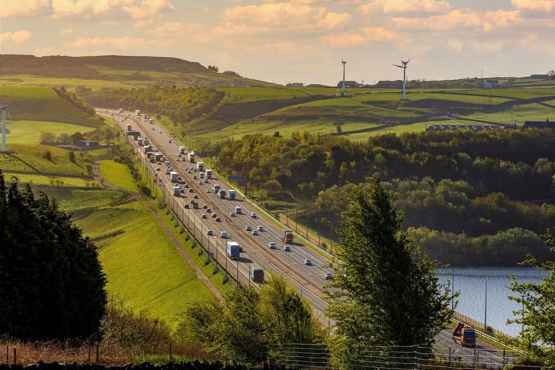


Paper forms, spreadsheets and hundreds of photos matched to assets by hand.
With ArbriumOne live record per asset — every inspection, photo and finding in the right place as it's captured.
From paper forms to one live record per asset.
Ash dieback and boundary condition surveys on live motorway corridors — every asset, inspection and photograph in Arbrium, visible to the asset owner as the programme runs.
See it on your own network.
Bring an asset layer from your own systems. We'll show what it connects to, what it affects, and the better data you'd get back.