
Guide
Drone tree survey cost: what UK work actually prices at
Aerial tree survey is quoted in several different ways, which makes comparison hard. This guide breaks the cost into its parts, sets out typical UK ranges, and explains where aerial genuinely undercuts ground survey and where it does not.
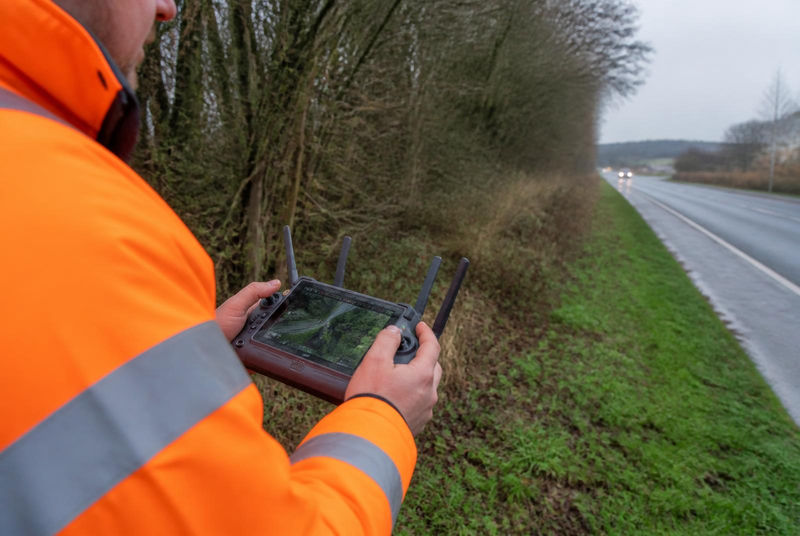
How aerial survey work is priced
There is no single rate, because a drone tree survey is three services sold together: the flight, the processing, and the arboricultural interpretation. Providers bundle them differently, so a cheap-looking quote often excludes the part that produces the report.
- Pilot day rate — qualified operator, aircraft, insurance and site set-up. Typically £600 to £1,200 per day in the UK.
- Fixed-fee single site — a domestic or single-plot inspection, commonly £350 to £700 including a short report.
- Processing — orthomosaic, photogrammetry or point cloud generation, usually £150 to £500 per site depending on area and output.
- Arboricultural reporting — interpretation by a qualified arboriculturist, often charged per tree or as a proportion of the survey fee.
- Mobilisation — travel, overnight stays and, on highway or rail work, traffic management, which can exceed the flying cost itself.
Treat any published figure, including these, as an indicative range rather than a quote. Two sites of the same size can differ by a factor of three once access and permissions are accounted for.
What drives the number up
- Airspace — flight restriction zones near airports, or work requiring an operational authorisation, add planning time before anyone flies.
- Proximity to people and property — flying close to uninvolved people or structures constrains the flight profile and may require additional permissions.
- Traffic management — on a live carriageway, TM is usually the largest single line item.
- Sensor choice — standard RGB is cheapest; multispectral or thermal adds cost and is only worth it if the decision depends on it.
- Deliverable depth — annotated imagery is far cheaper than a per-tree condition schedule tied to mapped assets.
Where aerial actually saves money
The saving is rarely in the flying. It is in avoided access: no MEWP hire, no climbing inspection, no repeated road closures to look at crowns that turn out to be fine. On a large population, aerial imagery triages the stock so the ground team visits the trees that matter.
That is also the honest limit. Aerial cannot assess basal decay, root plate condition or internal defects, and a crown-loss class assigned from imagery still needs a competent arboriculturist behind it. Our drone tree survey method guide covers what imagery can and cannot support.
A realistic worked comparison
Take a 500-tree roadside population. Ground-only inspection with intermittent traffic management might take eight to ten surveyor-days plus TM on each. An aerial pass across one or two days can capture the whole corridor, after which perhaps 15 to 20 percent of trees need a ground visit — so the TM bill, not the survey fee, is what collapses.
Where aerial rarely pays is the small job: fewer than about twenty trees, or a single tree where the question is structural rather than a crown assessment.
Keeping the cost down on the reporting side
A significant share of a survey budget is spent after the site work, turning imagery and notes into a defensible schedule. Capturing against mapped assets — with photographs attached to the inspection and exports in the client's format — removes the reconciliation step that quietly consumes office days.
See aerial tree surveys for how we run the flight-to-report pipeline, and pricing for the platform side.
Costing an aerial programme?
Tell us the site, the tree count and the access constraints, and we will walk you through how the work is usually priced and where the savings sit.